


|
|
 |
 |
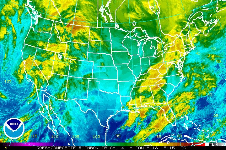 Current IR Satellite Image |
 Current Surface Analysis |
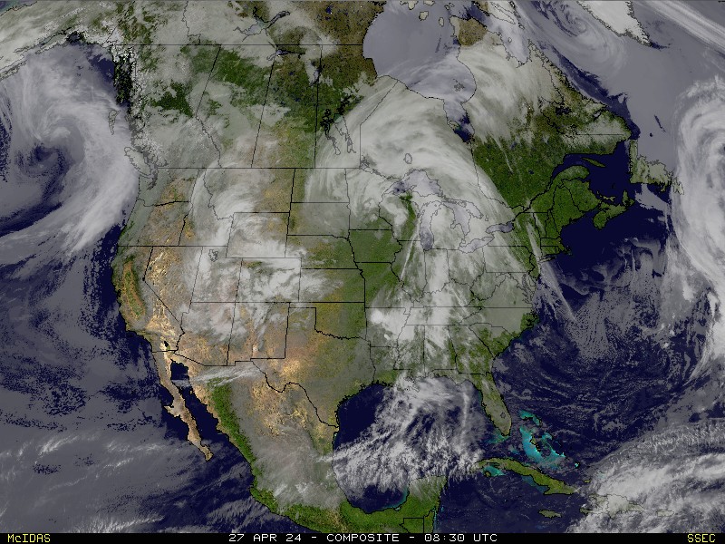 Current Satellite Image |
 Current DiFax Chart - 850MB |
 Current DiFax Chart - 700MB |
 Current DiFax Chart - 500MB |
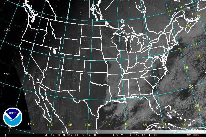 Current Visible Satellite Image |
 Predominant Weather Forecast |
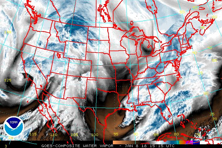 Current Water Vapor Image |
 700 - 850 HPA Layer Wind Currents Map |
 850MB Relative Vorticity Map |
 Sheer Tendency over the last 24 Hours |
 International Satellite Images - Longwave IR |
 GOES WEST - N Hemisphere - Longwave IR |
 GOES EAST CONUS - Longwave IR |
 GOES EAST CONUS - Water Vapor |
 GOES WEST FULL DISK - Longwave IR |
 GOES EAST FULL DISK - Longwave IR |
 METEOSAT-PRIME FULL DISK |
 METEOSAT-IODC FULL DISK |
 FY-2E FULL DISK - Longwave IR |
 MTSAT FULL DISK - Longwave IR |
Weather Page 1 |
Weather Page 2 |
Blog |
RSS Feed
E-Books |
Contact |
Home
Forecast, Satellite, Model Data and Graphical Images are provided courtesy of: NOAA
The Data Center at the Space Science and Engineering Center (SSEC) of the University of Wisconsin - Madison
State University of New York - Albany